When America's Highways Were Just Wishful Thinking: The Wild West Era of Cross-Country Driving
When America's Highways Were Just Wishful Thinking: The Wild West Era of Cross-Country Driving
Imagine planning a road trip from New York to California without Google Maps, without interstate highways, and without any guarantee that the road you're following actually leads anywhere. For American drivers in the early 1900s, this wasn't a thought experiment—it was Tuesday.
The transformation of American road travel from a genuine survival challenge to today's climate-controlled, GPS-guided experience represents one of the most dramatic shifts in how we navigate our world. What once required the skills of a frontier explorer now demands little more than the ability to follow a blue line on a smartphone screen.
The Great American Road Lottery
In 1903, when Horatio Nelson Jackson became the first person to drive across the United States, he wasn't following established routes—he was essentially making them up as he went along. The journey took 63 days, required multiple repairs, and involved countless conversations with locals who pointed vaguely toward the horizon and said, "I think California's that way."
This wasn't unusual. Early American motorists carried an arsenal of equipment that would make today's AAA roadside assistance technician weep: spare tires (plural), tire patches, inner tubes, spare spark plugs, fan belts, radiator hoses, and enough tools to rebuild an engine. Because chances were good they'd need to.
Roads, when they existed at all, were often little more than wagon trails that turned into impassable mud pits when it rained. The famous Lincoln Highway, America's first transcontinental highway established in 1913, was mostly gravel and dirt. A "good" day of driving might cover 150 miles—if you were lucky and didn't break down.
Navigation by Neighborly Advice
Before standardized road signs, American drivers relied on a patchwork system of local knowledge that would horrify modern travelers. Towns created their own signage—if they bothered with signs at all. A typical set of directions might include landmarks like "turn left at the red barn," "follow the railroad tracks for five miles," or "ask again at Miller's farm."
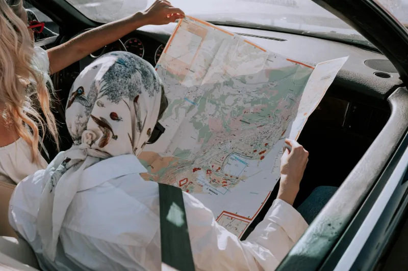
The American Automobile Association began publishing strip maps in the 1900s—detailed route guides that drivers would follow turn by turn, mile by mile. These weren't the fold-out road maps we remember from family trips. They were more like treasure maps, complete with warnings about steep grades, dangerous curves, and towns where gas might not be available.
Drivers developed their own survival strategies. Many carried multiple maps from different publishers, knowing that none would be completely accurate. Smart travelers befriended local mechanics and farmers, who became unofficial navigation consultants. Some drivers even hired local guides for particularly treacherous stretches.
The Gas Station Gamble
Finding fuel was perhaps the biggest challenge of early road travel. Gas stations as we know them didn't exist until the 1920s. Instead, motorists bought gasoline from general stores, blacksmith shops, pharmacies, or anywhere else that happened to sell it by the gallon. Many towns simply didn't have gas at all.
Experienced drivers carried extra fuel in jerry cans, not just for emergencies but as standard practice. Running out of gas didn't mean walking to the nearest station—it might mean hiking to the nearest town and hoping someone there sold gasoline. Or it might mean abandoning the car entirely.
The uncertainty was so great that many drivers planned their routes around confirmed fuel stops, sometimes adding hundreds of miles to their journey just to ensure they could keep moving.
When Getting Lost Meant Real Danger
In our GPS-guided world, getting lost usually means arriving late for dinner. In early 20th-century America, getting lost could mean dying of exposure.
Drivers regularly found themselves stranded in wilderness areas with no cell phone service (obviously), no nearby towns, and no guarantee that another car would pass by. Winter breakdowns were particularly dangerous—many drivers carried camping gear not for recreation but for survival.
Search and rescue operations were virtually nonexistent. If you didn't show up at your destination, your family might not even know where to start looking. The vastness of America, which we now cross with casual confidence, was genuinely intimidating.
The Interstate Revolution
The Interstate Highway System, launched in 1956, changed everything virtually overnight. Suddenly, America had standardized roads with consistent signage, reliable surfaces, and predictable services. The journey from coast to coast dropped from weeks to days.
But it wasn't just about speed. The interstate system eliminated the guesswork that had defined American road travel. Exits were numbered logically. Gas stations appeared at regular intervals. Maps became accurate and standardized.
For the first time in American history, you could drive from New York to Los Angeles without local knowledge, without survival skills, and without significant risk.
The GPS Generation
Today's road trips would be incomprehensible to those early motorists. We complain when GPS recalculates our route or when we lose cell service for a few minutes. We expect real-time traffic updates, accurate arrival times, and warnings about construction delays.
The skills that once defined American drivers—reading terrain, interpreting weather patterns, maintaining mechanical equipment—have largely disappeared. We've traded self-reliance for convenience, and most of us consider it a fair deal.
The Price of Progress
Something was lost in this transformation. Early American road trips were genuine adventures that required preparation, skill, and courage. Drivers developed deep knowledge of their vehicles, their routes, and the landscape itself.
Today's road trips are undeniably safer, faster, and more comfortable. But they're also more predictable, more isolated from local communities, and less connected to the actual geography we're crossing.
The next time your GPS guides you smoothly from point A to point B, consider the generations of American drivers who earned their destinations through determination, mechanical skill, and the kindness of strangers. They may not have arrived on schedule, but they certainly earned their stories.