No Rules, No Roads, No Guardrails: What Driving Across America Used to Actually Mean
No Rules, No Roads, No Guardrails: What Driving Across America Used to Actually Mean
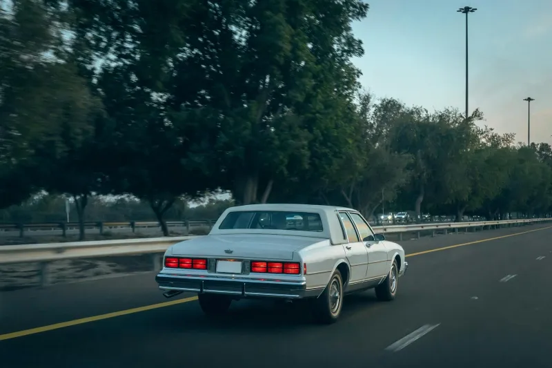
Today, you can climb into a car in Los Angeles, plug a destination into your phone, and trust that a smooth ribbon of asphalt will carry you all the way to New York City in roughly 40 hours. Rest stops, clear signage, consistent speed limits — it all just works. It's so reliable that most Americans don't give it a second thought.
But wind the clock back a hundred years, and the idea of driving cross-country wasn't a road trip. It was an expedition.
A Country Stitched Together With Mud
In the early decades of the 20th century, America's road network was, to put it generously, a patchwork. Most roads outside of major cities were unpaved — dirt or gravel at best, thick mud or deep ruts at worst. Rain could render a route completely impassable overnight. There were no guarantees that the road marked on your map actually existed in the form you were expecting.
When journalist Emily Post — yes, the etiquette columnist — drove from New York to San Francisco in 1915, she documented the journey in a book. Her account reads less like a travel diary and more like a survival memoir. Blown tires were a daily occurrence. Roads dissolved into farmland without warning. Bridges were rickety wooden structures that groaned under the weight of an automobile. Her party got lost repeatedly, often relying on locals for directions that turned out to be wildly inaccurate.
Post's experience wasn't unusual. It was standard.
No Signs, No Standards, No System
One of the most disorienting aspects of early American road travel was the near-total absence of standardized signage. Different states, counties, and even private organizations each posted their own markers — or none at all. A driver crossing state lines might find that the road numbering system changed entirely, or that familiar symbols disappeared altogether.
The American Automobile Association and various trail associations tried to fill the gap by painting colored bands on telephone poles or fence posts to mark popular routes. The Lincoln Highway, established in 1913 as one of the first transcontinental roads, was marked with red, white, and blue stripes. It sounds charming. In practice, those stripes faded, got painted over, or simply weren't there when you needed them most.
Speed limits? Essentially nonexistent at a national level. States had their own rules — or didn't. Some towns posted limits as low as 8 mph. Open stretches of road had no restrictions at all. The result was a chaotic, unregulated environment where the only real check on speed was the condition of the road itself, which, as we've established, was often terrible.
The Numbers Tell a Brutal Story
The death toll from early American road travel is staggering when you look at it clearly. In 1925, there were roughly 19 million registered vehicles in the United States. That year, approximately 15,800 people died in traffic accidents. By comparison, in 2022, with over 280 million registered vehicles — nearly 15 times as many — around 42,000 people died on the roads. Adjusted for the number of cars and miles driven, early 20th century roads were catastrophically more deadly.
And it wasn't just fatalities. Breakdowns were so common that experienced road-trippers carried complete toolkits, spare parts, and enough supplies to survive being stranded for days. AAA's original mission, when it was founded in 1902, was partly just to lobby for better roads — because the roads were genuinely dangerous infrastructure.
The Moment Everything Changed
The turning point came in 1956, when President Dwight D. Eisenhower signed the Federal Aid Highway Act into law. Eisenhower had been shaped by two formative experiences: a grueling 62-day Army convoy across the country in 1919, which averaged just 58 miles a day on crumbling roads, and his observation of Germany's Autobahn network during World War II. He came home convinced that America needed something similar.
What followed was the largest public works project in American history. Over the next few decades, 48,000 miles of interstate highway were built — engineered to consistent federal standards, clearly signed, with controlled access points, gentle curves, and divided lanes. Travel times collapsed. Accident rates per mile driven dropped dramatically. Entire industries — trucking, tourism, fast food — were reshaped around the new network.
The famous Route 66, once a symbol of American adventure and freedom, was gradually bypassed and eventually decommissioned in 1985. The romance of the old road gave way to the efficiency of the new one.
The Road We Take for Granted
There's something worth pausing on here. Every time you merge onto an interstate, you're using infrastructure that represents one of the most significant investments the U.S. government has ever made in its own citizens. The smooth pavement, the green exit signs, the consistent lane widths — none of it happened by accident. It was built deliberately, at enormous cost, because the alternative was killing people at scale.
The freedom to just drive — to hop in the car and go somewhere hundreds of miles away without it being a life-or-death undertaking — is something Americans have had for less than 70 years. Before that, the open road was a lot less open than the phrase suggests.
Next time a long drive feels tedious, it might be worth remembering what the alternative used to look like.